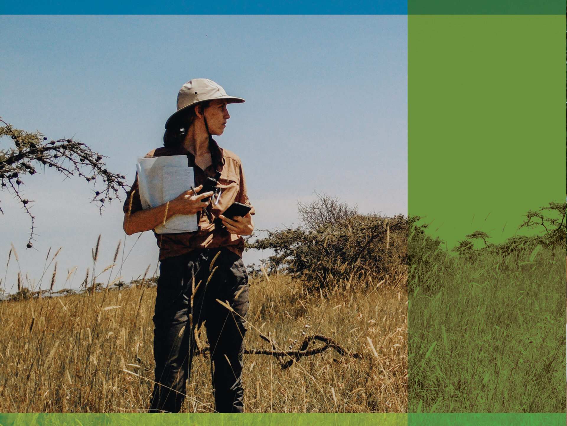
For Sara Beery, PhD (PhD ’22), love for the natural world has been a passion since childhood. “I had a very treehuggy upbringing,” she says with a laugh. When she found herself at a crossroads at age 22, following the end of her career as a professional ballerina, Beery decided to devote her life to making even “one small impact” on mitigating the environmental and societal challenges wrought by climate change.
“We’re seeing climate change shift ecosystem zones, and ecologists predict, for example, that the species that are going to thrive best in New York City in fifty years are the ones that are currently thriving in North Carolina.”
She pursued an undergraduate degree in electrical engineering and discovered new passions for math and computer vision, a type of AI that allows computers to analyze, interpret, and react to the content of various forms of imagery. “My eyes were opened to what those fields were going to be able to do for environmental and biodiversity monitoring at a very large scale,” says Beery.
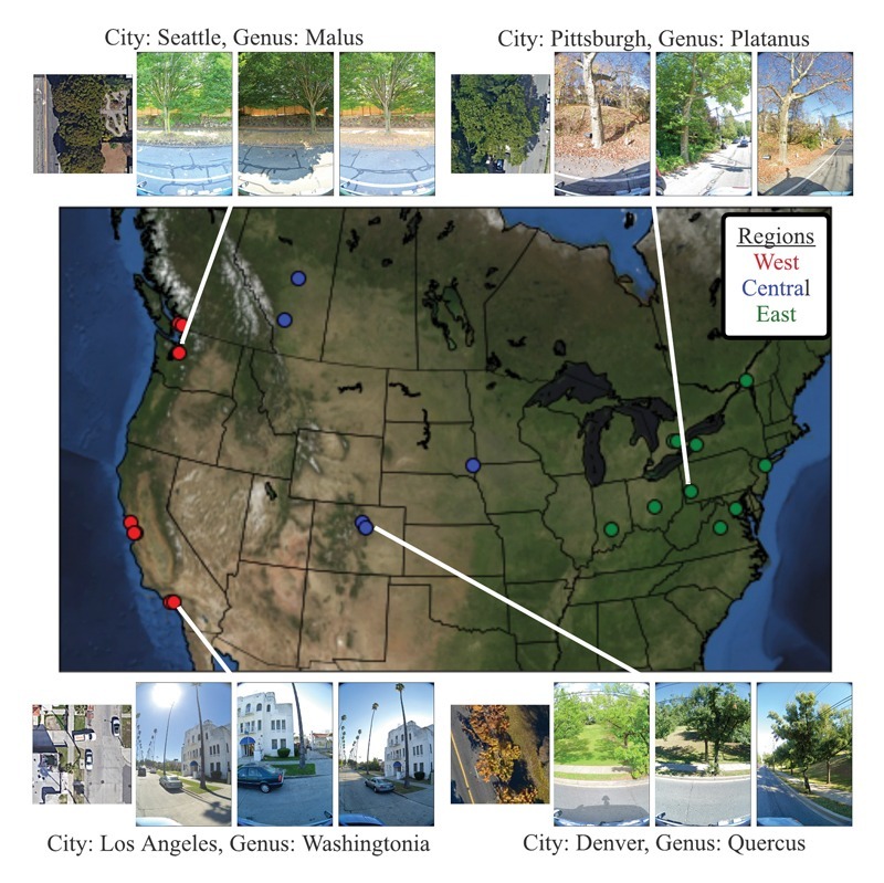
In 2020, as a student researcher at Google, Beery, her mentor Jonathan Huang, PhD, and their team began applying this science to create Auto Arborist, a massive dataset of 2.6 million trees in 23 North American cities that allows researchers to monitor the health of urban forests. Creating these maps, with trees identified by genus, required a complex combination of three modes of data: Google street-view photos, aerial imagery, and existing public tree censuses. “They were at different spatial and temporal scales,” Beery explains. “One of the bigger challenges was figuring out how to work around the fact that not every tree that was reported to exist perfectly matched the imagery we see today.”

Accurately monitoring the health of urban forests, says Beery, is critical as cities adapt to climate change. “Urban forests provide shade and evapotranspiration, and are vital to things like reducing wind speed, capturing stormwater runoff, and soil stability,” she says. “It’s environmental infrastructure that is really beneficial when you have extreme weather events.” The monitoring can also lend insight into what kinds of trees planted now will be most beneficial in the years to come. “We’re seeing climate change shift ecosystem zones, and ecologists predict, for example, that the species that are going to thrive best in New York City in fifty years are the ones that are currently thriving in North Carolina,” says Beery.
In the future, the dataset will expand to cover additional cities in North America and around the globe and allow for more nuanced monitoring of the health and growth of trees over time. Beery’s hope is that the more detailed models will enable cities to allocate their resources as effectively as possible to foster thriving, equitable, and actively managed urban forests. “That’s the dream, but I do think it will happen,” says Beery, who is beginning a professorship in AI & Decision Making at MIT this fall. “Anytime I know that the work my collaborators and I have done is truly useful and is actually providing some benefit—that’s the best thing.”
